
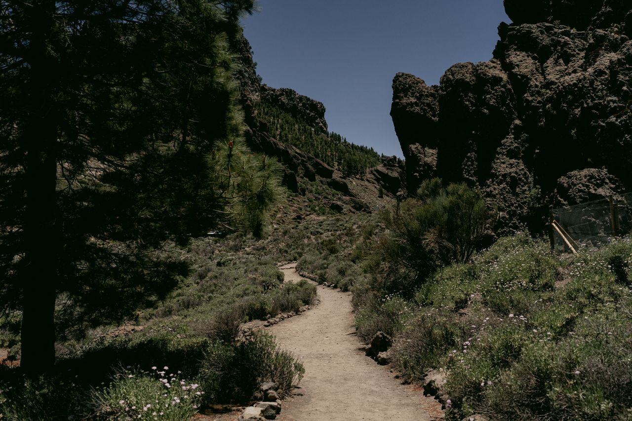
A phone with GPS makes navigation feel effortless right up until the moment it fails — a dead battery in cold weather, no signal in a deep valley, a frozen app mid-route, or outdated map data missing a recent trail closure. When that happens on a well-marked day hike near a trailhead, it’s an inconvenience. When it happens several miles into genuine backcountry, it’s the exact situation that turns a manageable hike into a real emergency. Learning to navigate with a map, compass, and basic environmental awareness isn’t about rejecting modern technology — it’s about having a genuine backup that never runs out of battery and never loses signal.
This guide covers the core skills of navigating without relying on GPS: reading a topographic map, using a compass to take and follow a bearing, and reading natural signs like the sun, stars, and terrain when you don’t have either tool available. None of this requires a background in orienteering — these are genuinely learnable skills that wilderness schools and search-and-rescue teams have taught for generations, well before GPS existed at all.
For the rest of a genuinely prepared trail kit, our multi-day backpacking checklist guide covers navigation gear alongside everything else worth carrying, and our best hiking poles guide covers equipment for the technical terrain where navigation skills matter most.
Why GPS Genuinely Fails, and Why a Backup Matters
Digital navigation fails for real, recurring reasons rather than rare edge cases. Cold weather drains phone batteries considerably faster than normal use alone would suggest. Deep valleys, dense forest, and mountain passes routinely block cell signal even when a map app itself doesn’t strictly require live connectivity. Apps glitch and screens freeze at genuinely inconvenient moments, often right at a critical route decision. Map data itself can be outdated, missing a recent washout or trail closure that a paper map updated more recently might actually reflect. And in genuinely severe conditions, widespread storm damage to cell infrastructure can take out signal across an entire region at once.
None of this means GPS isn’t useful — it’s a genuinely excellent primary tool for most hiking. But a map and compass can’t run out of battery, and natural navigation signs are always available regardless of signal or charge. The point of learning these skills isn’t to abandon GPS entirely; it’s to have real options when your primary tool fails, which is precisely the moment you’re least equipped to improvise from scratch if you’ve never practiced beforehand.
Reading a Topographic Map
A topographic map is fundamentally different from a standard road map because it shows terrain, not just routes — and understanding how it does that is the foundation everything else in this guide builds on.
Contour lines represent elevation, and their spacing tells you about slope steepness. Lines packed closely together indicate a steep slope; lines spaced widely apart indicate relatively flat terrain. Learning to read contour line spacing at a glance lets you assess a route’s difficulty before you’ve hiked a single step of it, and it’s genuinely one of the most useful skills a topographic map teaches once it becomes second nature.
Map scale determines how map distance translates to real-world distance. A common scale like 1:24,000 means one inch on the map equals 24,000 inches — roughly 2,000 feet — in actual terrain. Understanding your specific map’s scale lets you estimate real hiking distances directly from the map rather than guessing.
The legend and symbols identify trails, water features, and man-made structures. Every topographic map includes a key explaining its specific symbols, and checking this before you rely on the map matters, since symbol conventions can vary somewhat between map publishers and regions.
Orienting the map to match your actual surroundings is the step most beginners skip, and it’s genuinely essential. Before using a map to navigate, physically rotate it so that features on the map align with the corresponding features you can actually see around you, or use a compass to align the map with true or magnetic north. A map that isn’t oriented to match reality is a common source of navigation errors that compound quickly once you start moving.
Using a Compass — The Basics
A basic magnetic compass works because it responds to Earth’s magnetic field, providing constant, reliable directional reference regardless of visibility, weather, or terrain.
Learn the compass’s basic parts first. The baseplate is the flat platform the rest of the compass sits on. The rotating bezel dial allows you to set a specific bearing. The direction-of-travel arrow indicates which way to walk once your bearing is set. The magnetic needle itself points toward magnetic north.
Taking a bearing to a visible landmark is the simplest practical use. Point the direction-of-travel arrow at a landmark you can see — a distant peak, a distinctive tree, a rock formation — then rotate the bezel until the orienting arrow aligns with the magnetic needle. That bearing is now set, and you can follow it even after the landmark disappears from view behind terrain or trees.
Following a set bearing means holding the compass level and turning your body, not the compass itself, until the magnetic needle aligns with the orienting arrow, then walking in the direction the travel arrow points. Practice this on short, low-stakes hikes specifically — take a bearing to a visible landmark, then walk to it using only the compass, confirming you actually arrive where you intended.
Declination is worth understanding even if you don’t always need to correct for it. Declination is the angle between magnetic north (where your compass needle actually points) and true north (the direction maps are oriented to). For short hikes in areas with minimal declination, you can often ignore this difference without meaningful consequence. For longer treks, precise navigation, or areas with significant declination, adjusting for it matters for genuine accuracy — check your map’s declination information for your specific region before a demanding trip.
A compass without a map still has real value for basic direction-finding — heading toward a visible landmark, or maintaining a straight-line direction through featureless terrain. But a map unlocks a compass’s full navigational potential; the two tools are genuinely complementary rather than substitutes for each other.
Putting Map and Compass Together
The full orienteering process combines both tools into a repeatable sequence: orient your map to match the surrounding terrain, locate your current position by identifying nearby features like a river bend or a distinctive peak, identify your destination and draw a mental or physical line between your position and it, take a bearing along that line, and then follow the bearing while regularly checking visible landmarks to confirm you’re staying on course.
Cross-checking is genuinely essential, not an optional extra step. Regularly compare what the map and compass indicate against what you can actually observe in the terrain around you. If a river, ridge, or other major feature you expected to see doesn’t appear where the map suggests it should, stop and reassess rather than continuing on the assumption that you’ll eventually reconnect with the correct route — this is exactly the kind of small discrepancy that, left unaddressed, compounds into being genuinely lost.
Adjust your bearing when obstacles require it, such as a river crossing or a cliff face blocking a direct route — take an alternate bearing around the obstacle, then correct back toward your original line once you’re past it, rather than abandoning navigation discipline entirely just because the direct path is temporarily blocked.
Following Natural Handrails
Handrails are linear terrain features you can follow for extended navigation guidance without needing to take a fresh bearing every few minutes. Streams and ridgelines are the most common handrails, and they frequently connect to trails or roads eventually, making them genuinely useful default routes when you’re uncertain of your exact position but know a stream or ridge leads generally toward where you need to go.
Vegetation changes often follow terrain features too, and noticing them can confirm your position indirectly. Open fields, dense forest, and other plant community transitions frequently align with elevation changes, soil type shifts, or water availability — patterns that, once you start noticing them, add another layer of confirmation to your navigation beyond map and compass alone.
Estimating Distance With Pace Counting
Pace counting is a simple, genuinely useful technique for estimating how far you’ve walked without any tool beyond your own count. Count every two steps as one “pace” — a rough average of about 2.5 feet per pace, though this varies by individual stride length and terrain. Calibrate your own pace count against a known distance (a measured trail section, a known distance between two landmarks) before relying on it, since individual variation in stride length genuinely affects accuracy.
This technique is particularly useful in combination with a set compass bearing — following a bearing while counting paces lets you estimate both direction and distance simultaneously, which matters considerably in low-visibility conditions like fog or dense forest where visual landmarks aren’t reliably available.
Reading Natural Signs When You Don’t Have a Compass
Even without a compass, several genuinely reliable environmental cues can help you maintain a general sense of direction — though the consistent advice across every experienced source on this topic is to cross-check multiple signs together rather than trusting any single one in isolation.
The sun rises in the east and sets in the west, and at solar noon in the Northern Hemisphere, shadows point roughly north. This is genuinely one of the most reliable and universally available natural navigation cues, requiring nothing more than attention to shadow direction at a known time of day.
Polaris, the North Star, indicates true north directly and can be located by first finding the Big Dipper constellation and following its pointer stars. This only works at night with a clear sky, but when available, it’s a genuinely precise directional reference.
Moss growth patterns offer a rougher, less reliable cue. In the Northern Hemisphere, moss often grows thicker on the north-facing side of trees, since that side receives less direct sun and retains more moisture. This is a considerably less consistent indicator than sun or star position, and it’s worth treating as a minor supporting clue rather than a primary navigation method.
Tree branch density can offer a similar rough cue, with branches often growing denser on the south-facing side of a tree in response to greater sun exposure — again, a supporting observation rather than something to rely on alone.
Prevailing wind patterns can indicate direction in regions with consistent, well-known wind behavior, though this varies considerably by location and season, making it the least universally reliable cue covered here.
The genuinely important habit across all of these: cross-check multiple natural signs against each other rather than trusting any single cue in isolation, since any one of them individually carries real uncertainty that combining several signs helps resolve.
Practical Habits Worth Building Before You Need Them
Practice these skills on short, low-stakes hikes before you’re relying on them in a genuine emergency. Taking a bearing to a visible landmark and walking to it, or navigating a short known route using only a map and compass with your phone turned off, builds real competence in a setting where a mistake costs you nothing beyond mild inconvenience.
Carry a physical map and a compass on every genuinely remote hike, regardless of how confident you are in your phone’s battery and signal. These tools weigh almost nothing and provide a real, working backup precisely in the situations where digital navigation is most likely to fail — remote terrain, extreme weather, and long trips where battery drain compounds over multiple days.
Write down or memorize key waypoints and bearings before you start a hike in genuinely unfamiliar terrain, rather than planning to figure out navigation reactively once you’re already on trail. Knowing your planned route’s major turns, landmarks, and approximate distances in advance gives you a real reference to fall back on if your primary navigation tool fails partway through.
If you ever become genuinely uncertain of your position, stop and reassess rather than continuing to move while hoping to reorient later. Continued movement while lost compounds the problem by increasing the distance between your actual position and wherever your last confirmed location was — stopping to methodically cross-check map, compass, and terrain features before continuing is almost always the better choice than pushing forward on uncertain footing.
Final Thoughts
Navigating without GPS isn’t about rejecting the convenience that digital tools genuinely provide — it’s about having a real backup that works when batteries die, signal disappears, or an app simply glitches at the wrong moment. A topographic map and a compass, used together through the same orienting-bearing-cross-checking process wilderness schools have taught for generations, provide navigation that never runs out of power. Natural signs like sun position, star patterns, and terrain features add a further layer of backup when even those tools aren’t available.
Practice these skills on short, forgiving hikes well before you actually need them in a genuine emergency, and carry the physical tools even on trips where you’re confident your phone will work perfectly — confidence in a backup you’ve never tested is exactly the gap that turns a manageable situation into a genuinely dangerous one.
For more on building a genuinely complete trail kit, check our multi-day backpacking checklist guide for where navigation tools fit alongside everything else worth carrying.